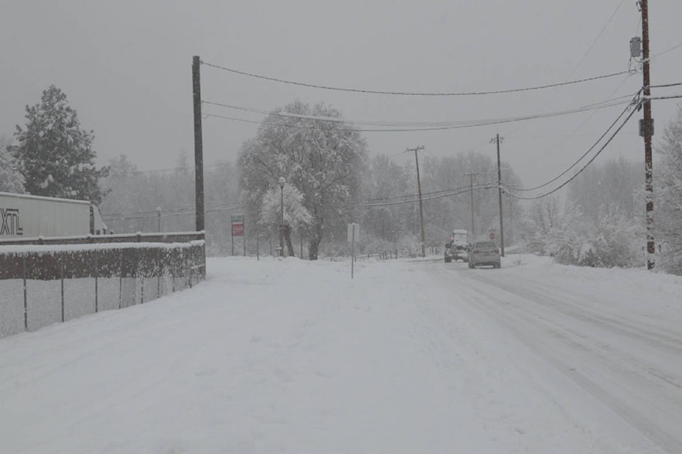
The last few days may have had some sunny and mild moments, but prepare for some snow.
According to Environment Canada meteorologist Bobby Sekhon, the snowfall will begin around noon on Tuesday. He said five centimetres are expected throughout the day.
��ѻ��ý�Tuesday night, it continues with another two to four centimetres and tapering off on Wednesday morning,��ѻ��ý� Sekhon said.
��ѻ��ý�As we go through the day on Wednesday, there will be chances of some light snow but it looks to be the evening that it picks up again and we might see another couple of centimetres from that as well.��ѻ��ý�
READ MORE: ��ѻ��ý�Pineapple express��ѻ��ý� heading towards Okanagan
READ MORE: VIDEO: Man in speedo skis along slushy Fernie street
But he said it won��ѻ��ý�t be the same kind of snow from a few weeks back.
��ѻ��ý�It��ѻ��ý�s going to be a little wetter. Since we don��ѻ��ý�t have the cold Arctic air mass in place, it��ѻ��ý�s not going to be as dry as that. It��ѻ��ý�ll be a wetter variety of snow this time around.��ѻ��ý�
Sekhon added the temperatures won��ѻ��ý�t drop too low this time either.
��ѻ��ý�We��ѻ��ý�ll get below zero, but not too far below. The high tomorrow (Tuesday) is about -2 C. Then on Tuesday night, we get down to -3 C,��ѻ��ý� he said.
��ѻ��ý�The next few days temperatures will fluctuate on either side of zero by a couple of degrees.��ѻ��ý�
He said to expect that fluctuation to persist until about the end of the week.


