A snowfall warning is in effect for the Central and North Okanagan ��ѻ��ý� including Kelowna and Vernon.
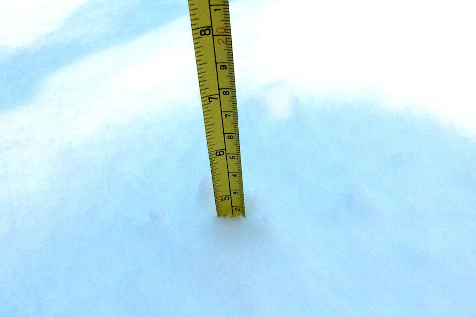
According to Environment Canada, the Okanagan is expected to receive 10 to 20 cm of snow beginning Monday morning.
��ѻ��ý�An approaching Pacific warm front will give heavy snowfall beginning Monday morning,��ѻ��ý� read a report issued by Environment Canada.
��ѻ��ý�Heavy snow will prevail over the Similkameen beginning Monday morning then spread further north into the Central and North Okanagan regions during the day. Accumulations of 10 cm are expected for the Similkameen during the day Monday followed by an additional 5 to 10 cm Monday night. The Okanagan regions should receive 2 to 4 cm Monday then another 10 cm Monday night after the snow intensifies.��ѻ��ý�
Travelers should prepare for quickly changing and deteriorating travel conditions. Surfaces such as highways, roads, walkways and parking lots may become difficult to navigate due to accumulating snow. Take frequent breaks and avoid strain when clearing snow.
16:05 EnvCanada issued warning 10 to 20 cm
��ѻ��ý� Kelowna (@ECAlertBC48)
There is also a snowfall highway alert in effect on the Okanagan Connector from Merritt to Kelowna.
Currently, in Kelowna, it is cloudy with a 60 per cent chance of rain showers or flurries this evening, then becoming partly cloudy. Wind south 20 km/h gusting to 40 becoming light early this evening. Low minus 3.
Here is a look at Kelowna��ѻ��ý�s forecast for the next few days.
Here's a look at 's forecast for the next few days provided by Environment Canada.
��ѻ��ý� Daniel Taylor (@DanTaylorKCN)
READ MORE: Northern B.C. First Nation evicts pipeline company from work site near Houston
READ MORE: Portions of Ellis Street closed to motorists on Jan. 9
daniel.taylor@kelownacapnews.com
Like us on and follow us on .


